Foraging Without Cell Service: Building a Reliable Offline Navigation Kit
Cell service tends to disappear exactly where remote pine forest gets interesting. Here's how phone GPS still works without it, and the backup layers worth carrying anyway.
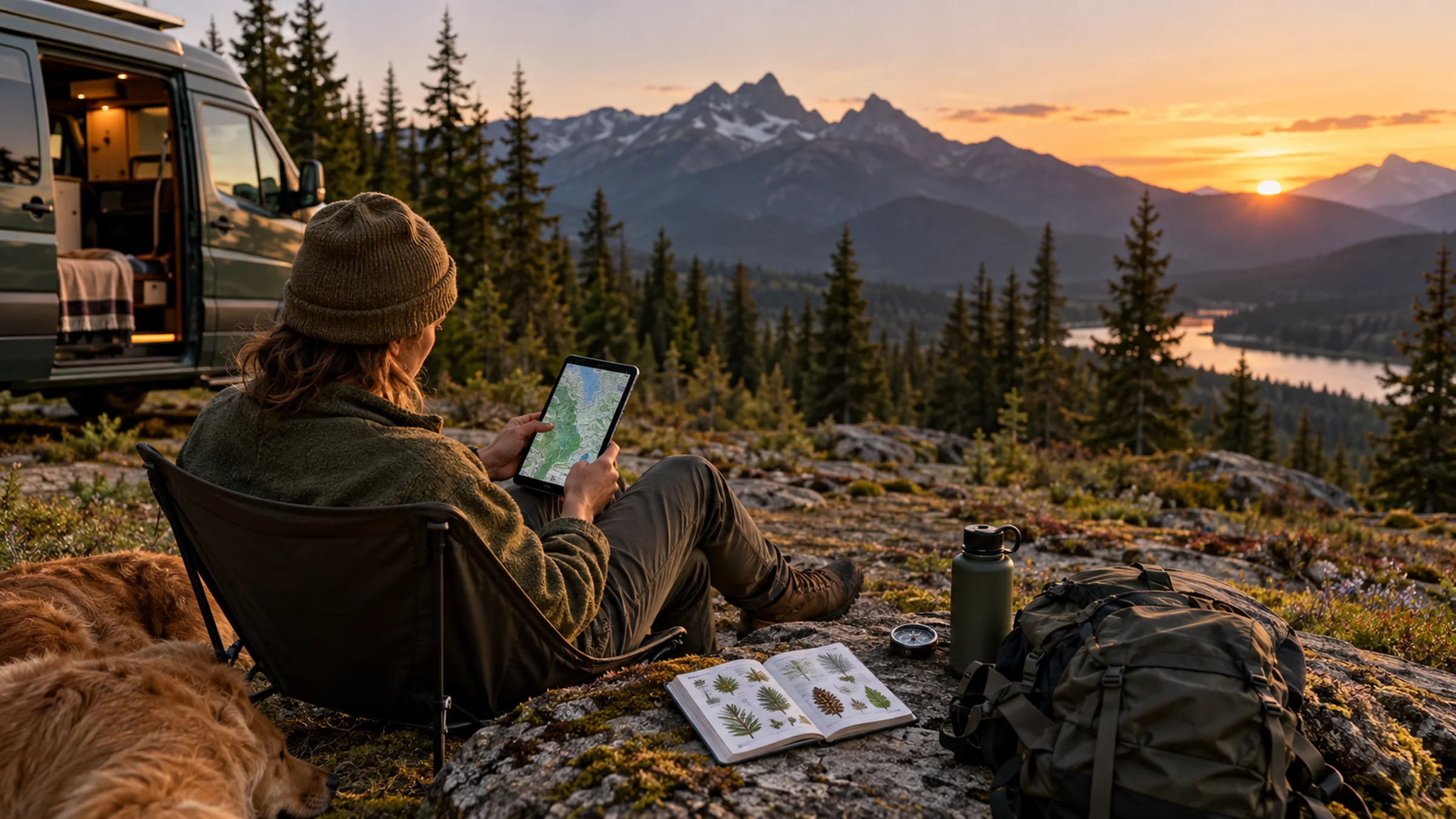
Remote pine forest -- the kind with the best identification practice and the least foot traffic -- is exactly where cell service tends to disappear. That's a navigation problem, not necessarily a safety crisis, once it's understood how phone GPS actually works and what backup layers are worth carrying.
Phone GPS doesn't need cell service to work
A smartphone's GPS chip communicates directly with satellites, not with cell towers -- meaning location tracking keeps working even with zero bars, as long as the relevant maps were downloaded to the device beforehand. This is the core fact that makes offline foraging trips practical: the map data itself is what requires a connection, not the position-finding. Putting a phone in airplane mode before heading into a dead zone actually helps rather than hurts, since it stops the phone from repeatedly searching for a cell signal (a real battery drain) while leaving GPS location services fully functional.
Download the map before you lose signal, not after
Dedicated offline mapping apps such as onX Backcountry, Gaia GPS, and AllTrails+ let a user download topographic detail, trail data, and, in several cases, public and private land ownership boundaries directly to a device ahead of time. That land-ownership layer is worth calling out specifically: it's the same practical tool that helps confirm whether a patch of forest is BLM, national forest, state, or private land, tying directly into the legal-access questions covered elsewhere in this library. Higher-detail downloads mean a larger file size but more precision at close zoom, which matters more for technical terrain than for a broad reference overview.
Natural landmarks and a simple safety plan
Paying attention to ridgelines, river crossings, and distinctive rock formations -- and looking back periodically to see how the trail appears from the return direction -- helps confirm location even without any device at all. Leaving a detailed itinerary with someone trusted before heading out, including an expected return time, costs nothing and meaningfully improves the odds of a fast, targeted response if something goes wrong. For genuinely remote trips well outside normal cell coverage, a dedicated satellite communicator with SOS messaging is a reasonable additional layer beyond a phone alone.
A simple, layered kit
Download the relevant offline map region before leaving cell coverage, including a land-ownership layer if the app offers one. Carry a portable battery pack for multi-day trips, since continuous GPS tracking does use noticeable battery even in airplane mode. Bring a paper topographic map and compass as a true backup that needs no power at all. And tell someone where you're going and when you expect to be back -- a habit that costs nothing and matters far more than any single piece of gear.